Mount Shasta › Североисток
![]() Mount Shasta, Сједињене Америчке Државе
Mount Shasta, Сједињене Америчке Државе
Real-Time Environment
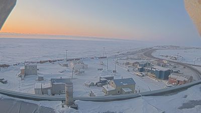
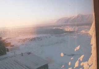
Welcome to the live streaming webcam for Mount Shasta › Североисток, perfectly situated in the vibrant region of Mount Shasta, Сједињене Америчке Државе. Watching this live camera allows you to instantly experience the local atmosphere and monitor current climate conditions.

About Шаста (планина)
Планина Шаста на Карук језику : Úytaahkoo или "White Mountain" је потенцијално активан вулкан који се налази на јужном крају Каскадских планина у Калифорнији у округу Сискију. Са висином од 4321 m то је други највиши врх Каскадаских планина, а пети у Калифорнији. Планина има процењену запремину од 350 km³ и то је стратовулкан са највећом запремином у Каскадаским планинама. Планина и његова околина су под управом U.S. Forest Service.
📖 Read more on Wikipedia📍 Location Facts
-
Country
 Сједињене Америчке Државе
- Region Калифорнија
- City Mount Shasta
- Coordinates 41.3065°N, -122.3110°E
Have you been to Mount Shasta?
Help the community! Share your experience, tell us about the weather, or upload your own photos from this exact location.