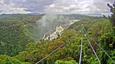
Lord Howe Island › Север: Armidale - Skycam.net.au -> North
![]() Lord Howe Island, Аустралија
Lord Howe Island, Аустралија
Real-Time Environment
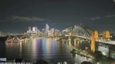
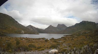
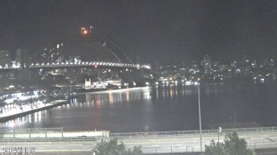
Welcome to the live streaming webcam for Lord Howe Island › Север: Armidale - Skycam.net.au -> North, perfectly situated in the vibrant region of Lord Howe Island, Аустралија. Watching this live camera allows you to instantly experience the local atmosphere and monitor current climate conditions.

About Lord Howe Island
Lord Howe Island is an irregularly crescent-shaped volcanic remnant in the Tasman Sea between Australia and New Zealand, part of the Australian state of New South Wales. It lies 600 km directly east of mainland Port Macquarie, 780 km northeast of Sydney, and about 900 km southwest of Norfolk Island. It is about 10 km (6.2 mi) long and between 0.3 and 2.0 km wide with an area of 14.55 km2, though just 3.98 km2 of that comprise the low-lying developed part of the island. The island is named after Richard Howe, 1st Earl Howe. Along the west coast is a sandy semi-enclosed sheltered coral reef lagoon. The island is home to less than 500 people, most of whom live in the north, while the south is dominated by forested hills rising to the highest point on the island, Mount Gower. The Lord Howe Island Group comprises 28 islands, islets, and rocks. Apart from Lord Howe Island itself, the most notable of these is the volcanic and uninhabited Ball's Pyramid about 23 km to the southeast of Howe. To the north lies the Admiralty Group, a cluster of seven uninhabited islets.
📖 Read more on Wikipedia📍 Location Facts
-
Country
 Аустралија
- Region New South Wales
- City Lord Howe Island
- Coordinates -30.5321°N, 151.6128°E
Have you been to Lord Howe Island?
Help the community! Share your experience, tell us about the weather, or upload your own photos from this exact location.